Training

Training services for the company GIS in open source, we focus on transferring skills in geographic tools and open-source software development. The comprehensive training includes theoretical study, practical exercises, and real-world project implementation. Topics include the use of GISmapping, spatial data analysis, and customized application development. The training is suitable for both advanced users and beginners alike, providing tools for professional development in the field of GIS and promotes open and free use of geographic data.

Implementation of open-source technologies and training

Implementation services of open-source technologies and training for the company GIS we offer advanced implementations of geographic tools and open-source software in the industry ofGISWe offer advanced applications of geographic tools and open-source software in the industry. Our services include professional and personalized implementation of technological solutions, tailored development processes to meet organizational needs, and comprehensive training in tool usage and workflows. Our goal is to enhance the technological capabilities of the team, improve process efficiency, and create advanced solutions customized to the business needs of the client.

Designing and developing customized systems and databases tailored to client needs

The services of defining and developing customized systems and databases tailored to the client offer personalized solutions to meet their unique needs. In collaboration with the client, we identify and specify the digital requirements and necessary infrastructures, translating ideas into reality through advanced system development and aligned databases. The service includes precise definition, planning, implementation, and ultimately provides a professional and tailored solution throughout the development process. The outcome is functional and efficient systems that enhance workflow processes and promote the client's success in the GIS field.

Control and ingestion services for measurement files from various sources and formats

The control and reception services of measurement files focus on the quality and accuracy of geographic data. Utilizing advanced technologies and tools, we deal with reception, control, and quality of data coming from various sources. This includes conversion, filtering, and analysis of files in different formats such as, SHP, DWG and more. The service provides tailored, professional, and reliable solutions that facilitate geographic projects and help clients efficiently manage complex data.

Development of BIM systems for engineering, construction, and infrastructure sectors

System development BIM Focused on engineering, construction, and infrastructure, emphasizing the integration of Geographic Information Systems (GIS) (GIS) integration of Building Information Modeling (BIM), provides advanced solutions for the management and planning of multi-disciplinary projects. Development includes the advanced implementation of technologies GIS and-BIM, Creating integrated interfaces and automated solutions for data management and workflow processes. The developed systems streamline decision-making processes, enhance project performance, and promote efficiency in management and construction.

Building 3D models

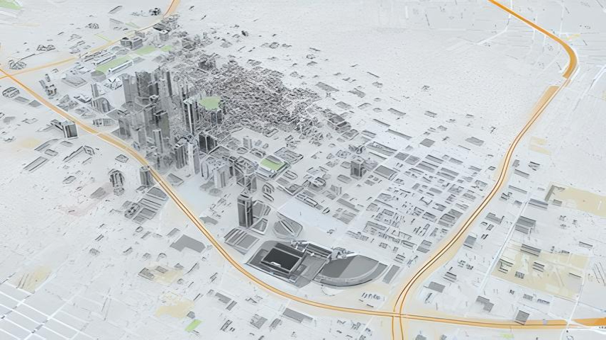
The company develops advanced 3D models in GIS for analysis and web visualization. These models integrate geographic data with three-dimensional information, providing a comprehensive and realistic view of geographical data. They enable deep analysis of the data and present it clearly and comprehensively to the general public. Moreover, the systems also provide an advanced platform for online data sharing, offering convenient access and real-time information sharing. This helps teams to collaborate efficiently and effectively.

NOW IS THE TIME FOR YOUR NEXT STEP

Join today and discover Geomind

en_US