Our Products
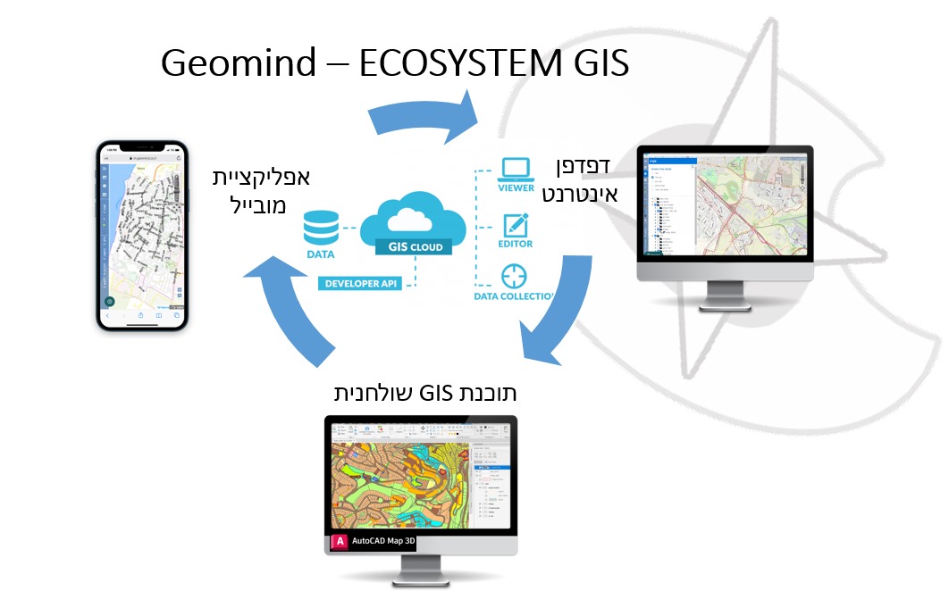
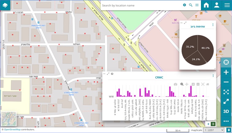
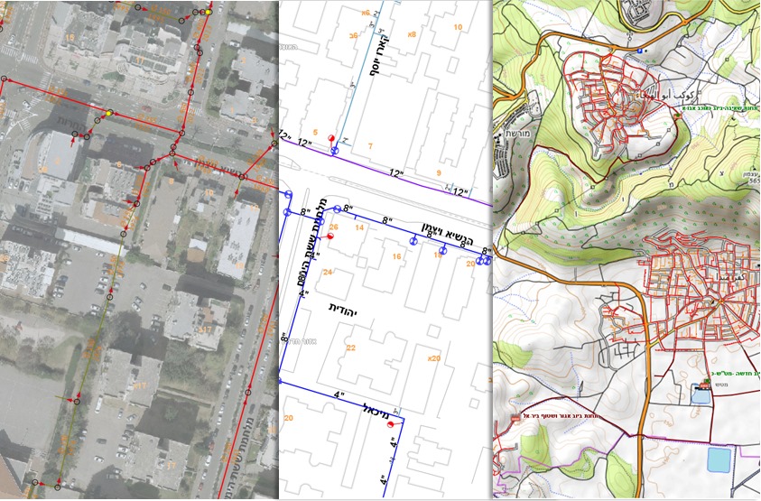
Geomind React4G system is specifically designed for governmental offices, engineering authorities, and corporations that require interactive mapping solutions on their websites or internal networks. It leverages location-based technologies to manage and display spatial data effectively.
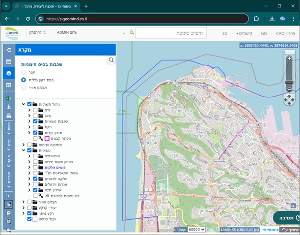
Geomind React4G
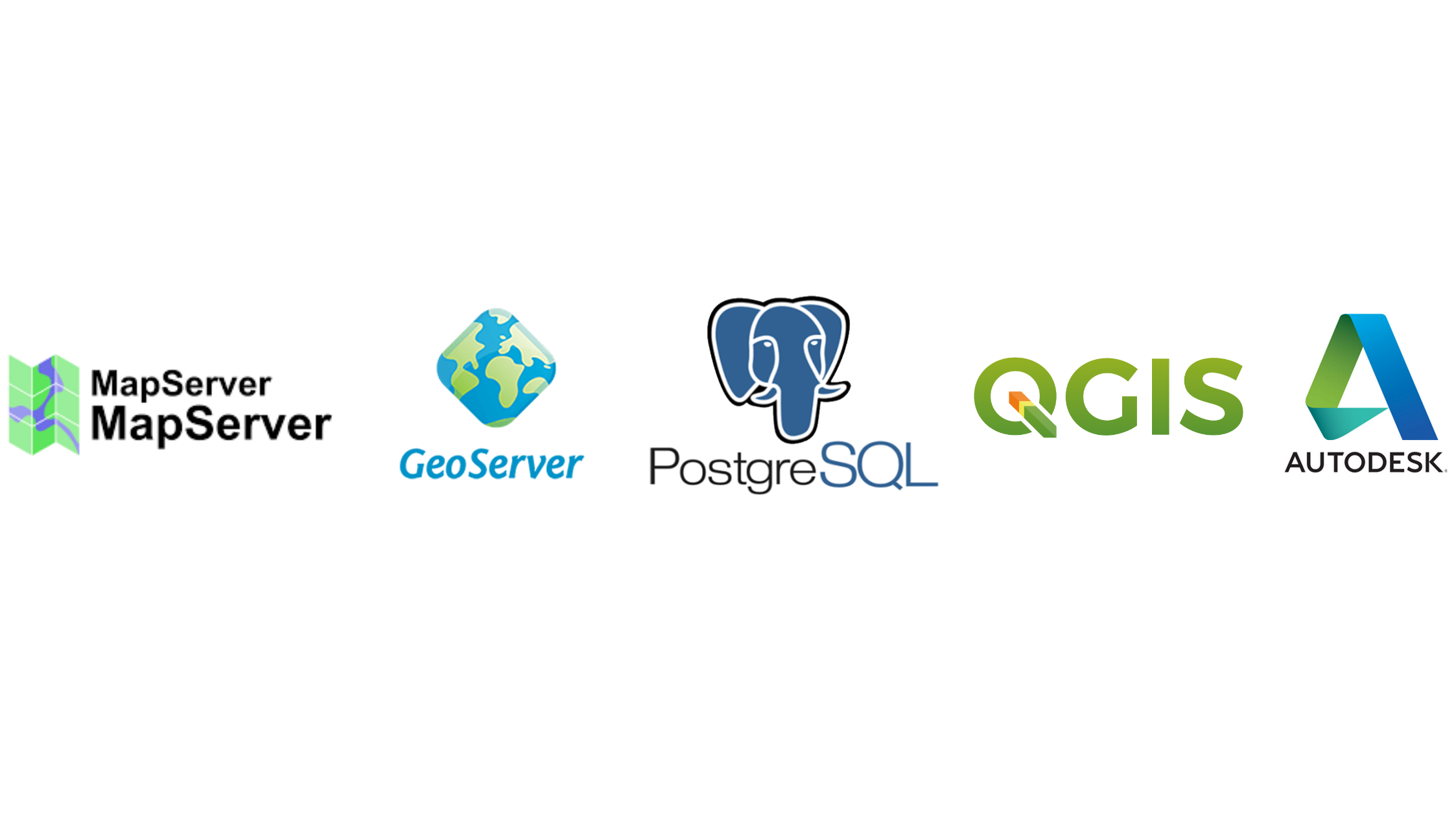
An advanced web mapping application designed to interface with open-source servers like MapServer, GeoServer, or other commercial GIS servers. It provides tools for creating, viewing, and interacting with geographic data and maps.

A React-based software for rapid creation of interfaces, providing an advanced and dynamic user experience.
Key features of Geomind React4G include:
Open source: The project is open source, available to anyone interested, and does not require purchasing licenses.
Rich in features: Offers a wide range of functionalities such as layer control, asset display, entity selection, map navigation, and more, essential for Geographic Information Systems (GIS).
Customization and scalability: Dynamic layer and data expansion mechanism tailored to users' needs.
This interface is particularly suitable for organizations in need of deploying interactive mapping solutions on their websites or internal networks, facilitating the management and visualization of spatial data.

Planning information management
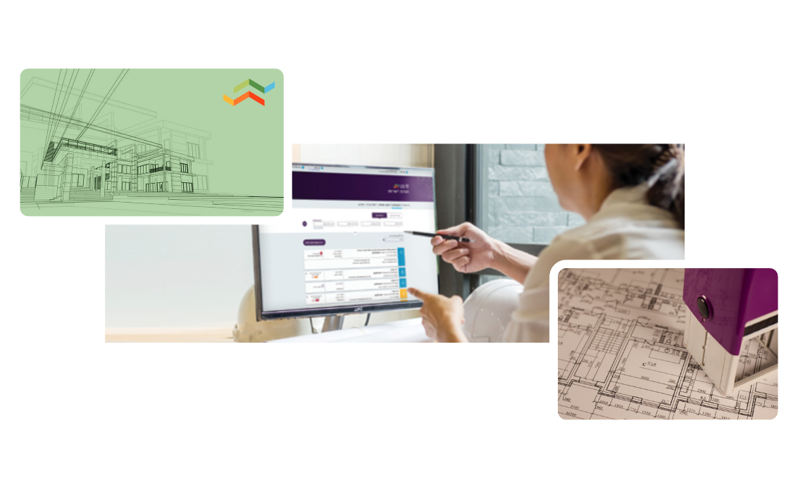
Advanced tools for managing and promoting planning processes, zoning, and land use. Includes real-time updates alongside historical data and generating a site's building rights information sheet.
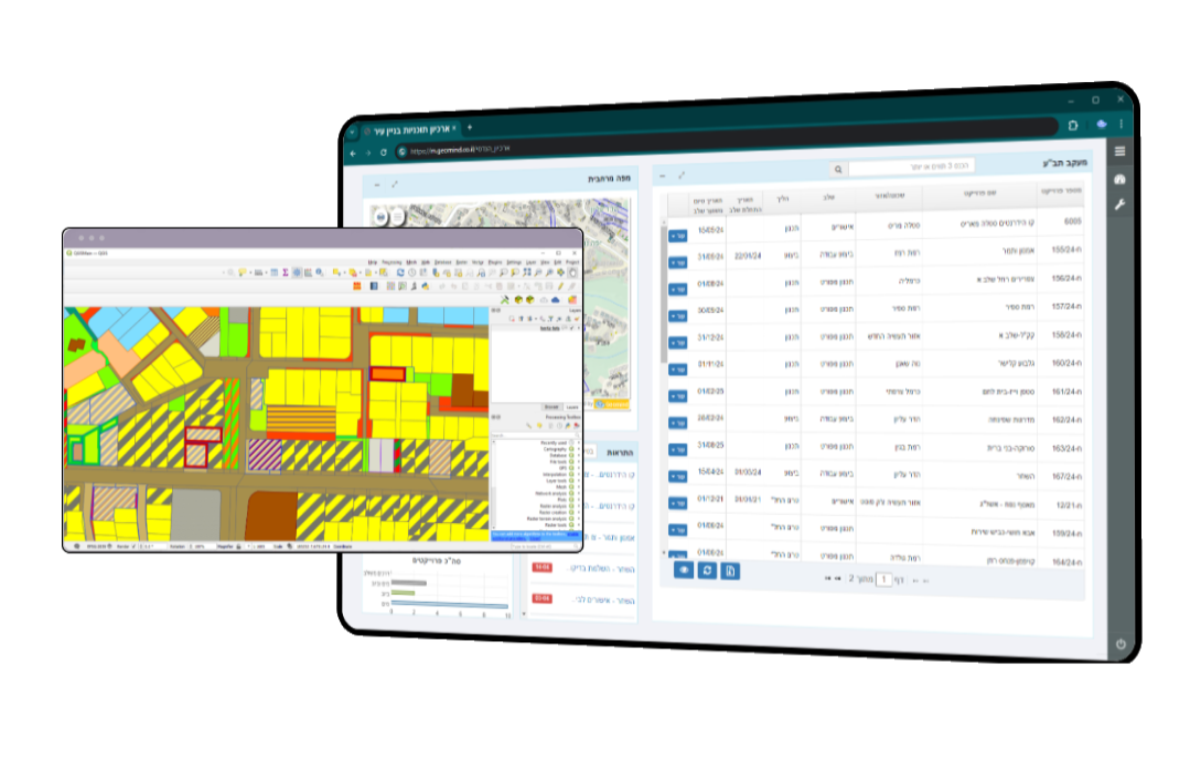
Archiving urban planning and land use purposes
Promoting the planning process of urban plans and tools for analyzing plots, visualizing land designated uses, and building rights.
We will provide you with the means to identify challenges, promote efficient solutions, support decision-making, and ensure public transparency.
WhatsApp messages
Automatic reminder mechanism for reminders via email, SMS, or WhatsApp.
Available licensing link
Operational information systems interfacing with the "Available Licensing" database to streamline the licensing process and data flow between systems seamlessly and efficiently. This is achieved through process automation for opening, updating, and handling licensing requests.
Project management
Project management: mapping, data analysis, planning and domain management, resource allocation, program implementation, and action monitoring

A property management software that includes several key features to facilitate the daily management of assets and improve workflow efficiency,
Effectively promoting and tracking assets to enhance the services provided to residents.
1. Asset and Facility Management - Ability to register, track, and manage all urban assets, including buildings, parks, and real estate holdings.
2. Maintenance Tracking - Ability to plan and monitor regular and emergency maintenance activities, including repairs, inspections, and periodic services.
3. Financial Management - Integration of functions such as budgeting, accounting, and financial reporting, considering all expenses and revenues related to assets.
4. Reporting and Analysis - Ability to generate detailed reports and perform data analysis to enhance operations and plan future strategies.
5. Information Security and Access - Advanced security systems to protect sensitive information and various access settings for employees based on permission levels.
6. Interfaces with Existing Systems - Integration with other urban information systems such as billing systems, tax authorities, and public transportation.
7. User-Friendly Interface - Convenient and user-friendly interface with simple navigation options and support for the Hebrew language.
8. Technical Support and Updates - Available support services and regular updates for the software to ensure compliance with the latest security standards and regulations.
9. Contract and License Management - Capability to manage contracts with suppliers and licenses for the use of municipal facilities and assets.
10. Future Planning and Development - Tools for strategic planning of urban asset use and development over time.

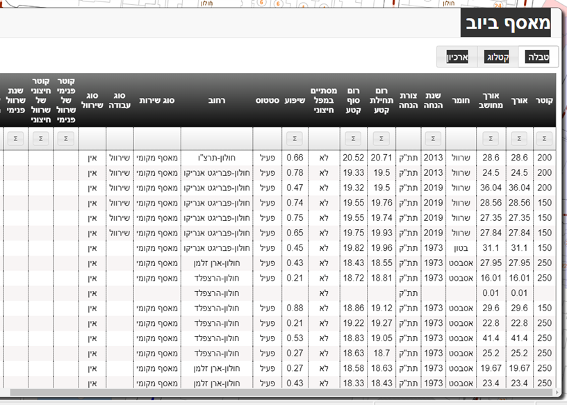
GIS software for water and wastewater infrastructure management
Automatic control and integration of measurement files, maintaining data currency in engineering standards. No need for data conversion; dedicated model import/export for water utilities such as control body, maintenance, projects, and work logs. Mobile app for survey retrieval and execution, full operational independence for layer creation and updates. Map production, reports, query execution, and more.
NOW IS THE TIME FOR YOUR NEXT STEP
Join today and discover Geomind

